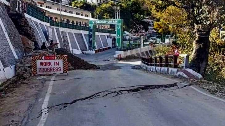
(G.N.S) Dt. 13 Joshimath/Dehradun The satellite images released by ISRO’s National Remote Sensing Centre shows the town sank 5.4 cm between December 27 to January 8. The report of NRSC, an Indian Space Research Organisation (ISRO) centre that manages data from aerial and satellite sources, said there was slow subsidence
This content is restricted to site members. If you are an existing user, please log in. New users may register below.


